 |
|
|
|
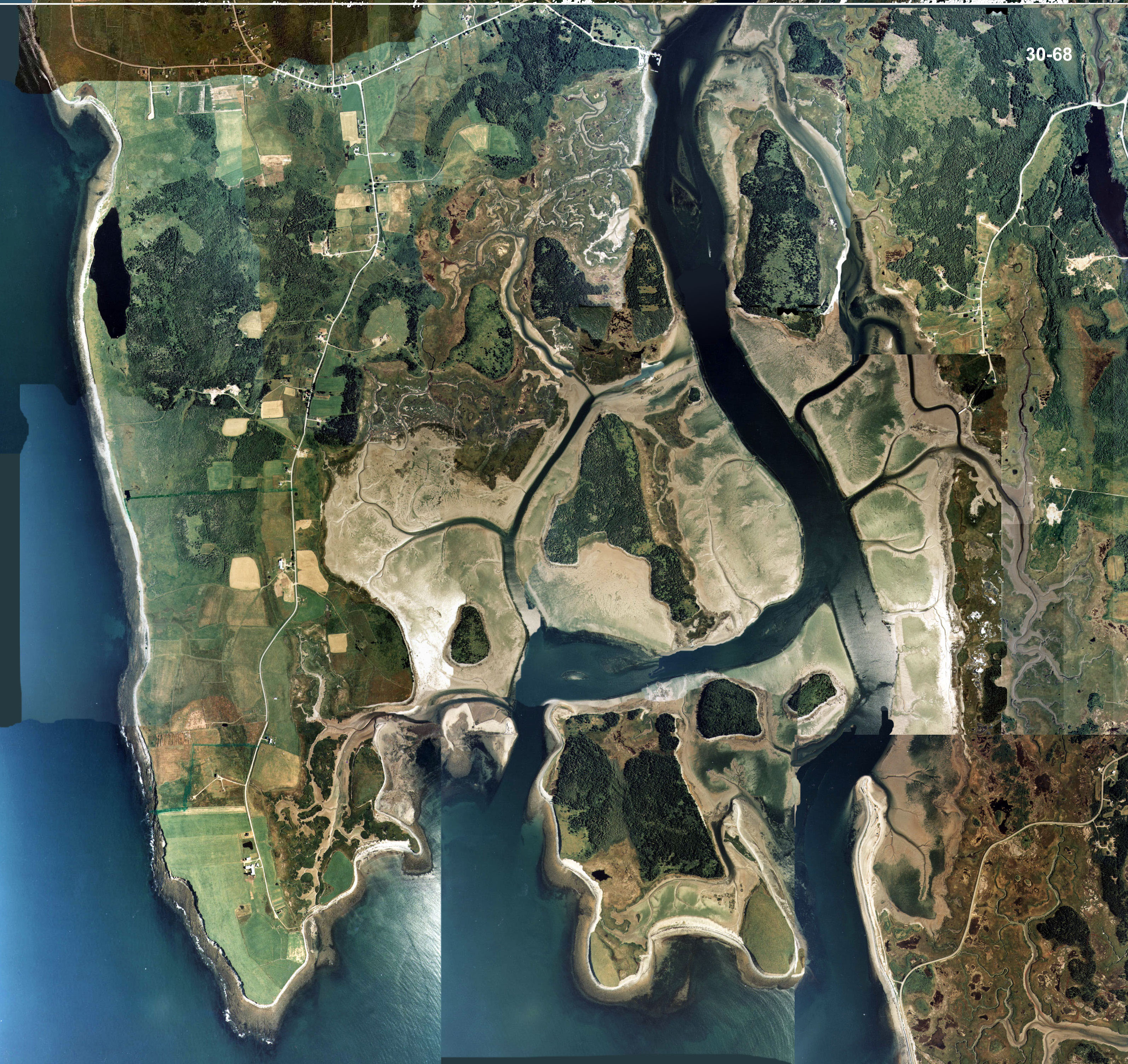
 For
such a small area there are some diverse habitats. The lake like area in
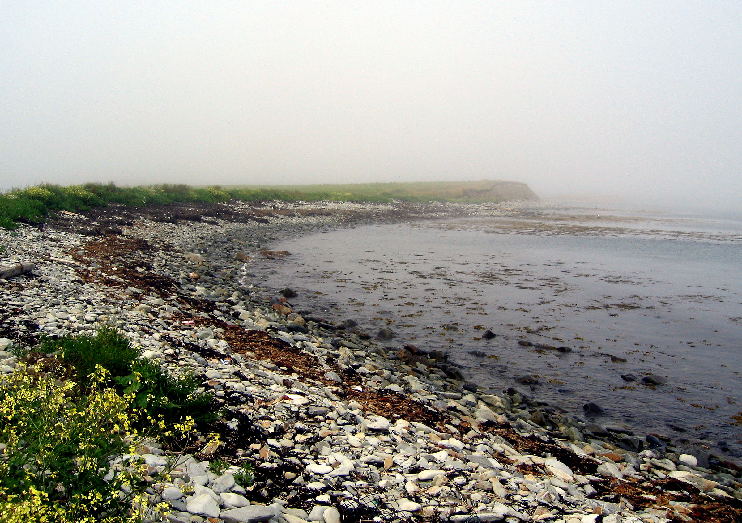
the picture is sea water and part of the Chebogue river system. The
aerial picture on the right is what this area will look like a few hours
later at low tide. This may be a very tempting place to explore but
is as dangerous as it is beautiful. In places the mud is almost like
quick sand and it is easy to get overtaken by an incoming tide. For
such a small area there are some diverse habitats. The lake like area in
the picture is sea water and part of the Chebogue river system. The
aerial picture on the right is what this area will look like a few hours
later at low tide. This may be a very tempting place to explore but
is as dangerous as it is beautiful. In places the mud is almost like
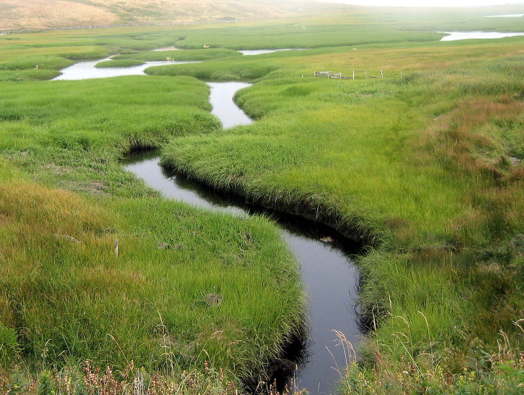
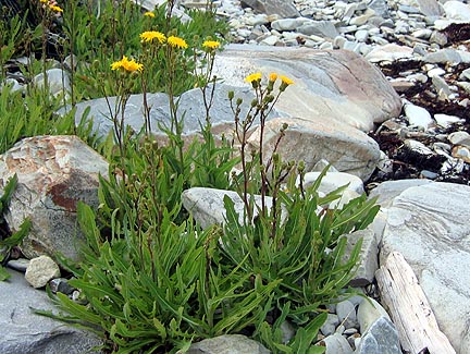
quick sand and it is easy to get overtaken by an incoming tide. 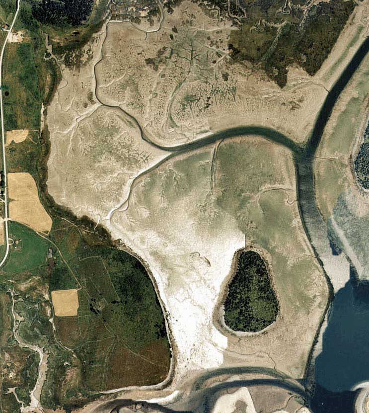 From an ecological point of view the area is of extreme importance
to the fishing industry. Salt marshes and mud flats trap debris,
such as seaweed. The material decomposes providing food for millions
of lower tropic level organisms that provide the basis for many of the
ocean food chains in the area. With 85% of historical Fundy salt
marsh habitat lost and/or severely degraded it is important to protect
those that are healthy. As you stand here at low tide the place may
not smell to good but mother nature is conducting her "salt marsh symphony"
and things are as they should be..
From an ecological point of view the area is of extreme importance
to the fishing industry. Salt marshes and mud flats trap debris,
such as seaweed. The material decomposes providing food for millions
of lower tropic level organisms that provide the basis for many of the
ocean food chains in the area. With 85% of historical Fundy salt
marsh habitat lost and/or severely degraded it is important to protect
those that are healthy. As you stand here at low tide the place may
not smell to good but mother nature is conducting her "salt marsh symphony"
and things are as they should be.. |
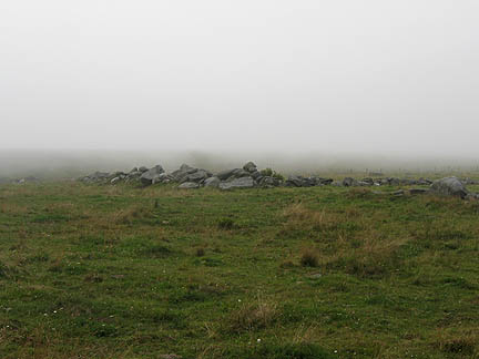
 The
Mi'kmaq gave it its name meaning "big marshes". There are 343 hectares
(837 acres) of salt marshland along the Chebogue River beginning
at Arcadia. Mi'kmaq stone tools, dating 5000 to 7000 years ago, were
in the area. Samuel Champlain, on a map dated 1607, may have depicted
Chebogue River with houses on both sides, this would make Chebogue the
third oldest European settlement in Canada. (S) The
Mi'kmaq gave it its name meaning "big marshes". There are 343 hectares
(837 acres) of salt marshland along the Chebogue River beginning
at Arcadia. Mi'kmaq stone tools, dating 5000 to 7000 years ago, were
in the area. Samuel Champlain, on a map dated 1607, may have depicted
Chebogue River with houses on both sides, this would make Chebogue the
third oldest European settlement in Canada. (S) |
 |
 |
|
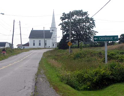
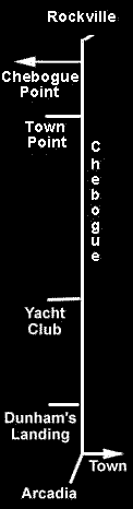
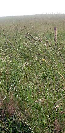
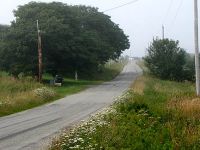
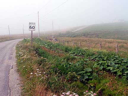
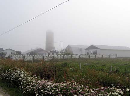
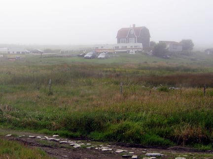
| The drive to lands end is brief,(~5km) so brief that if you have the time it would be best to walk it. |
 |
 |
 |
 |
 |
 |
|
 |
 |
 |
 |
|
|
|
|
 |
 |
 |
|
|
|
now you hear! |
Randomly arranged links to topics related to Chebogue point.
| Partial map of area | The North Atlantic Regional Experiment | Chebogue Point Road, Web Site for Dan and Sue | Mouth of Chebogue River |
| Bruce Doddridge's Home Page | La Ferme d'Acadie à Chebogue, Nouvelle-Écosse | FISHERMEN'S TRAIL | |
| SPRL 1995: SPRL Research Sites Chebogue Point and Sable Island ... | Meteorological mechanisms for transporting O3 | Measurement of alkyl nitrates at Chebogue Point | |
| PENNEY, Carol Marie | The Drowning of Halcombe Lytton - 1892 | CHARLES SONIA lost off Chebogue Point 1908 | Notes written by Ebenezer Scott |
| Benjamin Robbins, the first settler (1762) on Chebogue Point, Yar. Co., NS (S) | Joshua
Pitman Trefry
granted land in the Chebogue Point area 1762 |
Captain
John Howard
ship wreck off Chebogue Point1868 |
|
| Champlain's Map - 1632 | EXPLOSION on steamer NEWFIELD ~1891 | AMABLE DOUCET. Esq. (1737-1806) | Chebogue Cemetery |
| The
Utkubok Trail Arcadia
Head water of the Chebogue River |
Email address:webmaster@yarmouth.org
Or Write:
Godfrey J. LeBlanc
GrassRoutes Computer Services Ltd.
Box 167 South Ohio
Yarmouth, Nova Scotia, Canada
BOW-3E0
Phone (902) 742-3845
The following companies make our Yarmouth
Villages presentations possible.